Geopolitics
The Cartographic Illusion: Deconstructing the 'Fixed' Border Between India and Myanmar
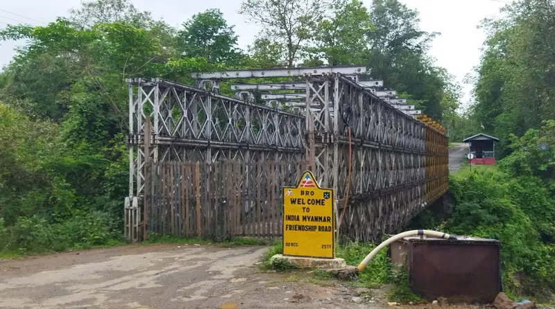
The volatile and fluid nature of the India-Myanmar border in Manipur's Chandel district is at odds with the simplistic notion of fixed national frontiers, revealing a complex reality of state formation and contested space. This starkly exposes the inherent hypocrisy of Western-imposed Westphalian models that fail to capture the historical, civilizational, and lived realities of the Global South, perpetuating neo-colonial narratives of 'defense' over indigenous understanding.